On the road again
August 15: Sault Ste Marie:
Left Toronto nice & early, and avoided almost any traffic, to Barrie without incident. Formerly--not having a death wish and invariably, in those days, driving a slow vehicle--the road from Barrie to Sudbury had scared me. But Ontario has fixed it, and are busily 4-laning the part that isn't already. We chose to drive around Sudbury rather than through it but the environment looks just fine and today there was only the faintest indication of heavy industry in the air.
San and I had both really looked forward to the things we remembered from our drive from Sudbury to Sault Ste Marie on previous occasions, but that road has been made much more convenient as well, with the result that most of the towns we remembered have disappeared by virtue of being by-passed. And some of the things I "remembered" turn out to have been just wrong: we both remembered an Eddy Match factory in Blind River: turned out that factory in in Pembroke (which,as far as we know, we’ve never visited) and Blind River's industry is a uranium-processing plant! So maybe it was just a sign on an industrial-looking building. (There goes another good story, though, although maybe the reality is ultimately better.) We also both "remembered" the channel of Lake Huron that ran parallel to the highway. It's a river, called the Mississagi.
Anyway, got to Sault and found ourselves directed by what I shall insist is inadequate signage to the bridge into the USA, which didn't interest us, destination-wise. Drove around, me being made increasingly frustrated and cranky by the one-way streets and no motels. However, I finally managed to get back to the highway to Thunder Bay and eventually the Adams Motel, in which I am writing this.
But can you believe it? There are apparently no brewpubs or pubs serving food that have actual ales on tap in SSM. I have this on the authority of the clerk at the desk and some serious googling. So I think we're going to just walk down the street and eat Italian, hoping they serve a satisfactory Ontario wine...
The photo requires an explanation: it was taken after I'd seen about a dozen similar ones after bypassing Sudbury. San hadn't seen them at all. Unless I'm looking for something specific, a place or
 a service or a product, I tend to ignore roadside signs, but these started to intrude on my consciousness, because I couldn't imagine a circumstance in which random signs with biblical themes would have any impact whatsoever, especially as one is clicking along at 90 (or over, mostly) when they appear. By the time we reached SSM I, who was now noticing them all, had seen at least a dozen more, unattached to any building or farm or anything....Local thing?
Supper at Gino’s 4 long blocks from the motel. Turns out they did have beer on tap, including Northern Superior (from SSM) black lager, just hoppy enough to suit us just fine.
Long along the lake
August 16: Thunder Bay:
August 16: Thunder Bay:
It's raining buckets, the Holiday Inn Express parking lot appears to be under water, and all our rain gear is in the car across that parking lot, so we're not going to find supper for a while...
Left the motel in the Soo before 7, and headed down the road, expecting to find a place to make a coffee and have some breakfast. It was foggy, and cold, so we passed the first ones by. A couple of hours later we were in Lake Superior Provincial Park, where, when one drives into any "rest area" (location indicated by the pictogram of a picnic table) one is confronted by a sign featuring a large dollar sign, and another to remind one to get or have a pass. In the past, we've been camping in Ontario by this point, and consequently have had a pass, but this time we were merely annoyed, so carried on to Wawa.
There the place to get coffee (it was too windy to make it at the picnic table supplied by the Visitors' Center) is pretty clearly Tim Horton's, which was mobbed. But very efficient, so we had our two dark roasts in no time. Maybe it was because the time for the day's first coffee had long passed, but Sandy and I both found ours surprisingly good. (I may have to re-evaluate that particular prejudice as well: isn't traveling broadening?!)
After Wawa we discovered that the rather dicey road over to and along the top of the lake has been distinctly improved and that it's still energetically a work in progress. However, as we found out yesterday, improvement has consequences, so Marathon has vanished behind a bypass and we had already ignored the turnoff by the time we discovered this. And Terry Fox's shrine has left the highway. There are still signs pointing out where one may find both, but we didn't check. The tacky store selling rocks, minerals, and gem stones near Hurkett has also disappeared, but maybe that's just an indication of the vagaries of commerce.
Shortly before the Marathon turnoff, we stopped to photograph the mine buildings and waste rock piles associated with Barrick’s Hemlo operation,
which we'd seen years ago when it appeared to be under construction.
And we also stopped at a federal government rest stop just down the beach from our favourite camping spot on this part of the trip. That's Rossport,
right on Lake Superior, and it is still delightful.
Young lady at the desk, probed for information by Sandy, who is good at that sort of thing, suggested "The Forge" in downtown for supper. Outstanding list of Ontario beers on tap; I had a pale ale by Great Lakes Brewing in Thunder Bay and San had an IPA by New Ontario Brewery in North Bay. Both excellent. And the food was pretty good too. Better yet, we left before the music staarted!
Left the motel in the Soo before 7, and headed down the road, expecting to find a place to make a coffee and have some breakfast. It was foggy, and cold, so we passed the first ones by. A couple of hours later we were in Lake Superior Provincial Park, where, when one drives into any "rest area" (location indicated by the pictogram of a picnic table) one is confronted by a sign featuring a large dollar sign, and another to remind one to get or have a pass. In the past, we've been camping in Ontario by this point, and consequently have had a pass, but this time we were merely annoyed, so carried on to Wawa.
 |
| Wawa means "goose" |
After Wawa we discovered that the rather dicey road over to and along the top of the lake has been distinctly improved and that it's still energetically a work in progress. However, as we found out yesterday, improvement has consequences, so Marathon has vanished behind a bypass and we had already ignored the turnoff by the time we discovered this. And Terry Fox's shrine has left the highway. There are still signs pointing out where one may find both, but we didn't check. The tacky store selling rocks, minerals, and gem stones near Hurkett has also disappeared, but maybe that's just an indication of the vagaries of commerce.
Shortly before the Marathon turnoff, we stopped to photograph the mine buildings and waste rock piles associated with Barrick’s Hemlo operation,
 |
| Hemlo.The mountain of waste rock has been added since we were last here. |
And we also stopped at a federal government rest stop just down the beach from our favourite camping spot on this part of the trip. That's Rossport,
 |
| Rossport campground is part of the much larger Rainbow Falls Provincial Park, just up the highway. |
Young lady at the desk, probed for information by Sandy, who is good at that sort of thing, suggested "The Forge" in downtown for supper. Outstanding list of Ontario beers on tap; I had a pale ale by Great Lakes Brewing in Thunder Bay and San had an IPA by New Ontario Brewery in North Bay. Both excellent. And the food was pretty good too. Better yet, we left before the music staarted!
Badlands Inn, after a day on the Prairie.
August 18: Dickinson, North Dakota.
August 18: Dickinson, North Dakota.
Did we even try to find a pub in Dickinson?
Not a chance; it appears to be the kind on town where one avoids the establishments that serve liquor. So we ate dinner at the unlicensed Perkins Restaurant and bakery, just across the street.
 |
| Badlands Inn, Dickinson North Dakota |
Yesterday we left Thunder Bay in a heavy fog, but the way to the border isn’t very interesting so we didn’t miss a thing, and by the time we’d been looked over there by the Border Agent for about 30 seconds the fog had mostly lifted and by the time we had arrived at the first viewpoint,
it was only occasionally evident.
 |
| Lake Superior south of Thunder Bay, partially in the fog |
The way down the lake to Duluth is, initially, very unpopulated. That changes closer to the source of cottagers. However, I can’t imagine that a cottage on Superior is much of a draw: the lovely red beaches are actually composed of pebbles and rock, the water is very cold, and in most places there’s nothing to look at except water. It reminded us of driving along the Black Sea, without the Turkish villages and tea plantations.
Then Duluth. We needed a road on the southern side, which involved a very different Duluth than the one on the way to Ontario: full of large, modern buildings, plus high speeds on a tangle of excellent freeways. We survived, found our exit, and carried on across on excellent secondary roads: first muskeg and forests, then small towns and small agriculture, then lots of small lakes and large farms. Mostly corn, some soy beans. Becoming mostly soy.
After an added hour of detours that made our Garmin quite exasperated (“recalculating! Turn right in 500 yards on 23rd Avenue... Recalculating! Drive 10 miles on...”) we arrived at Isaac’s parent’s place
(where we had last been just after Enid and Isaac were married) and were greeted effusively.
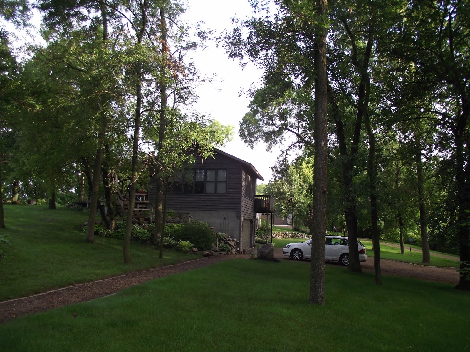 |
| The house between the lakes |
This morning we left quite early, and set off, again on excellent secondary roads, past lakes, corn fields, and soy fields.
I was sure I remembered much more grain the last time, and fewer lakes. There is water everywhere in this part of Minnesota; all the lakes are very full this year, and everything is very green. Probably too much water: you could still see evidence of the problems farmers had with water when planting.
When the countryside started to dry up, in South Dakota, the soy was largely replaced by striking fields of sunflowers. The photo was taken just across the Missouri River, on the Standing Rock Reservation,
where the flat prairie is replaced by rolling hills and buttes: sunflowers and corn and a butte in the background.
 |
| view of the Minnesota River |
 |
| first view of the Missouri River |
 |
| sunflowers, corn, and a butte |
A day on the freeway
Monday August 19. Butte, Montana:
Got up this morning when my phone said 6:15. Some time later, looked at my watch: 5:45. I'd forgotten that my phone is on airplane mode because we're in the USA, and my phone won't update till we get back to Canada.
Literally everywhere we've picked up coffee, had dinner, or stayed since we left Minnesota has had a "help wanted" sign. We noticed the same thing in the States on our trip from International Falls to Ontario. The restaurant we ate at yesterday was so badly understaffed there was one waiter and the clean-up lady was seating people and running the till instead of clearing the tables. The young man who eventually served us explained that no one local wanted to work there because even menial jobs in oil and gas are far more lucrative. According to him, every employee was from out of state. The irony of this is, of course, that these states are serious Trump supporters and resist immigration vigorously. Haven't seen even one recognizable hispanic or asian person since we've been in the States so far. That will change dramatically when we get to Washington State tomorrow.
(Saw a billboard on the highway out of Billings saying, "Montanians love Republican values. Be Republican." It had no bullet holes in it that I could see.)
Shortly outside Dickinson, ND, is a viewpoint
overlooking the Painted Canyon part of the Theodore Roosevelt National Park. We've explored it before so we didn't go to or through it. Instead we made breakfast and carried on.
What can one say about a day of freeway travel? It's fast; the speed limit is frequently 80mph. The roads are generally good. The scenery from when one gets to the Yellowstone River until Butte is lovely, and well worth the drive.
Tomorrow we lose the freeway, go through some serious mountains, and end up in Richland. We're looking forward to that.
Monday August 19. Butte, Montana:
Got up this morning when my phone said 6:15. Some time later, looked at my watch: 5:45. I'd forgotten that my phone is on airplane mode because we're in the USA, and my phone won't update till we get back to Canada.
Literally everywhere we've picked up coffee, had dinner, or stayed since we left Minnesota has had a "help wanted" sign. We noticed the same thing in the States on our trip from International Falls to Ontario. The restaurant we ate at yesterday was so badly understaffed there was one waiter and the clean-up lady was seating people and running the till instead of clearing the tables. The young man who eventually served us explained that no one local wanted to work there because even menial jobs in oil and gas are far more lucrative. According to him, every employee was from out of state. The irony of this is, of course, that these states are serious Trump supporters and resist immigration vigorously. Haven't seen even one recognizable hispanic or asian person since we've been in the States so far. That will change dramatically when we get to Washington State tomorrow.
(Saw a billboard on the highway out of Billings saying, "Montanians love Republican values. Be Republican." It had no bullet holes in it that I could see.)
Shortly outside Dickinson, ND, is a viewpoint
 |
| view of badlands, Theodore Rosevelt National Park |
What can one say about a day of freeway travel? It's fast; the speed limit is frequently 80mph. The roads are generally good. The scenery from when one gets to the Yellowstone River until Butte is lovely, and well worth the drive.
Tomorrow we lose the freeway, go through some serious mountains, and end up in Richland. We're looking forward to that.
Supper today at the very funky and competent Sparky’s Garage, which has some outrageous number (19 on the ad) of Montana brews on tap. San and I opted for a pale ale from Livingston which was simply excellent, and San’s Southern salad and my catfish fish&chips likewise.
Following Lewis and Clark across the Continental Divide to the Columbia River
Tuesday August 20, Richland:
Left the motel in Butte and its dreadful coffee early, and headed down the freeway to Missoula. From there the route of the US12 is through downtown Missoula (second-largest city in Montana!) and out. We watched the signs carefully, even the counterintuitive ones, and didn’t have to repeat any of it.
The road to Lolo Pass, Idaho, and the Continental Divide is not very long, probably because Missoula is 978 meters and the pass is only 600 meters higher. But it’s twisty, narrow, and heavily forested. The way down follows a river, is even more twisty, but there’s more to hold the attention of passengers, who threatened to fall asleep on the way up, and consequently had to knit yet another winter hat for some lucky small child. There were trucks parked at regular intervals, indicating fishermen on the river.
After the valley widened, there were a number of communities and the traffic increased substantially until Lewiston and Clarkston, which, to our eyes, hadn’t changed significantly since we were here in the spring. Except for the extensive renovation and consequent “roadwork” signage of the bridge over the Clearwater.
 |
| The Snake River behind the Lower Granite Dam, near Clarkston |
And then on to Richland, where Enid had just returned home and there was beer in the fridge.
This morning in Butte it was a lovely 8 degrees; in the area around Prescott in Washington, the car’s thermometer read 38.
It’s summer, and as Irv explained, places that have winter have only a short season suitable for road repairs. Consequently, we experienced many road repairs, every day. When bridges are involved, we discovered, automated traffic lights, powered by a solar array, do away with the need for a flagperson to do with enthusiasm what must be pure tedium.
Sometimes a project is even announced without any evidence of progress. But today, on the way to the pass, we saw the best example of this yet: There were signs. There were lights. We waited for about 5 minutes until the opposing traffic appeared. Then we waited another 3 minutes behind the red light until a truck with a “pilot car” sign appeared. Then the whole line drove for 2 miles until the pilot car turned to allow us to pass. There was literally no sign of construction. Maybe tomorrow.
And that's it; we've done the rest dozens of times.
It will be good to get back to BC, the Island, and home.
And that's it; we've done the rest dozens of times.
It will be good to get back to BC, the Island, and home.
No comments:
Post a Comment